Fieldwork is the process of obtaining information by personally collecting primary data, such as measuring wind speed. Research involves using media such as the internet and newspapers to obtain information. The small river in which we investigated flood risk was Loughton Brook, a river which originates from a spring in Epping Forest, runs out through Staples Road overflow pond and through a highly urbanised area of Loughton, eventually joining the River Roding. It varies in width from 0.7m to 2m and in depth from around 0.
7cm at the origin to 2m or higher, especially at the reservoir. The brook flooded in 1987 and 2000, but still poses a severe flood risk.
To investigate the flood risk, several different methods can be used to assess how prone the river is to flooding.
Precipitation is obviously the key factor we must consider when assessing flood risk; the more rain, the more likely it is to flood. Using simple rain gauges, emptied and measured every 24 hours, we can measure rainfall and from that, work out how much water the river will have to cope with.
Large amounts of rainfall can mean that problems with the river such as small blockages or thin channels can be multiplied. However, rainfall reaching the river can be affected by other factors.
Interception plays an important part in flood risk, as it dictates how much water will reach the soil to be carried as surface run-off or slower processes. To measure interception rates, insert large funnels into jars to collect rainwater, and place them in different vegetation areas, as well as in open air.
By measuring these every 24 hours, we can see how the amount of rainfall reaching the floor varies. For example, 100% of the rain will hit the floor in uncovered areas; the deciduous areas will provide part cover, but only in spring and summer, and the coniferous areas provide little cover all year round. The amount of water intercepted is useful as it tells us how much water we are dealing with when it comes to the permeability of the soil.
Infiltration rates are the final measure before we get to the river. Measuring infiltration rates gives us a key insight into how much of the water getting through the vegetation is going to be absorbed or repelled. This is done by inserting an open ended impermeable cylinder in to the soil at various locations such as areas of deciduous vegetation, coniferous vegetation and pastoral land around Epping Forest. With the cylinder in about 10cm, it is filled up and measured when full, and then using a stopwatch, measure the level every 30 seconds. Other methods use a Constant Head Infiltrometer to maintain constant pressure, but this is the easiest and simplest method.
This will tell us how permeable the soil is, indicating whether rain water will be absorbed and be carried slowly by through flow or groundwater flow, or whether it won’t absorb and be carried much more quickly as surface run-off.
The more surface run-off, the shorter the lag time of the river discharge which means the river has a large volume of water to deal with in a short space of time, increasing flood risk.
However, we must also assess the river’s ability to deal with large volumes of water.
To do this, we have to find, amongst other things, the cross-sectional area of the river. Using a tape measure and a 1m rule, we can measure the width of the river and then measure the depth every 10cm across, creating a rough guide to the shape of the river, and therefore be able to see how much water the river can hold before it bursts its banks.
Useful measurements such as wetted perimeter, which measures the length of river bed submerged by water, is useful as it can back up the CSA by making us aware of any massive changes in between the measurements we took. 10cm readings are not very accurate but they are a sensible rough guide. This is also useful as it is necessary in the calculation of the hydraulic radius.
Hydraulic radius, calculated by CSA/Wetted Perimeter, is a useful tool in assessing flood risk, as it denotes the efficiency of a river. A perfect channel would be that of a perfect square, as it has ultimate efficiency. We can see by looking at the shape of the river if it is efficient enough to handle large quantities of water; if not, it will be more prone to flooding.
Velocity is also a useful factor to consider here; by measuring a distance and placing a cork at the start, timing how long it takes to reach the end and calculating its velocity, we can see how quickly the river flows, and therefore how long the water from precipitation will take to get back to its source. If this is quick, we can expect a higher risk of flooding.
However, most of this fieldwork is useless without some research about the area and previous events.
Antecedent conditions are perfect to combine with our results from infiltration rates; by looking at the weather from the past few weeks, we can judge how the ground will be. For example, if there has been hot dry weather for a prolonged period, the ground will be baked hard, and water will not be absorbed but run-off it. Similarly, if there has been rainfall over the past few days, the soil may be holding all the moisture it can, and so the water will just run off it. Using this information, we can already see why there may be a flood risk at certain times.
In conjunction with this, looking at previous flood events is also a helpful resource. The flood of 2000 happened in summer, an example of how sunny warm conditions can make increase flood risk if it was to rain.
Ordinance surveys are useful after having taking measurements for interception. We can see the difference in water intercepted in deciduous areas and coniferous areas, as well as the contrast between woodland and open air, so an OS map showing how much land is covered by which type of vegetation, if any, will give us an indication of how much water is lost through interception around the whole catchment.
A final method would be to look at how the brook is being managed; for example, in Loughton brook the grilles are cleared once every month, and repairs are carried out on a regular basis. If the local council or the body in charge do not carry out repairs and maintain the river due to lack of money or whatever reason, flood risk increases immediately, regardless of any other factors.
Essay Writing Service Features
Our Experience
No matter how complex your assignment is, we can find the right professional for your specific task. Contact Essay is an essay writing company that hires only the smartest minds to help you with your projects. Our expertise allows us to provide students with high-quality academic writing, editing & proofreading services.
Free Features
Free revision policy
$10Free bibliography & reference
$8Free title page
$8Free formatting
$8How Our Essay Writing Service Works

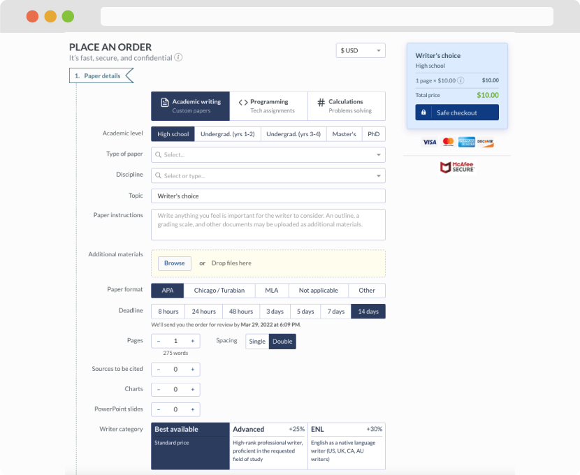
First, you will need to complete an order form. It's not difficult but, in case there is anything you find not to be clear, you may always call us so that we can guide you through it. On the order form, you will need to include some basic information concerning your order: subject, topic, number of pages, etc. We also encourage our clients to upload any relevant information or sources that will help.
Complete the order form
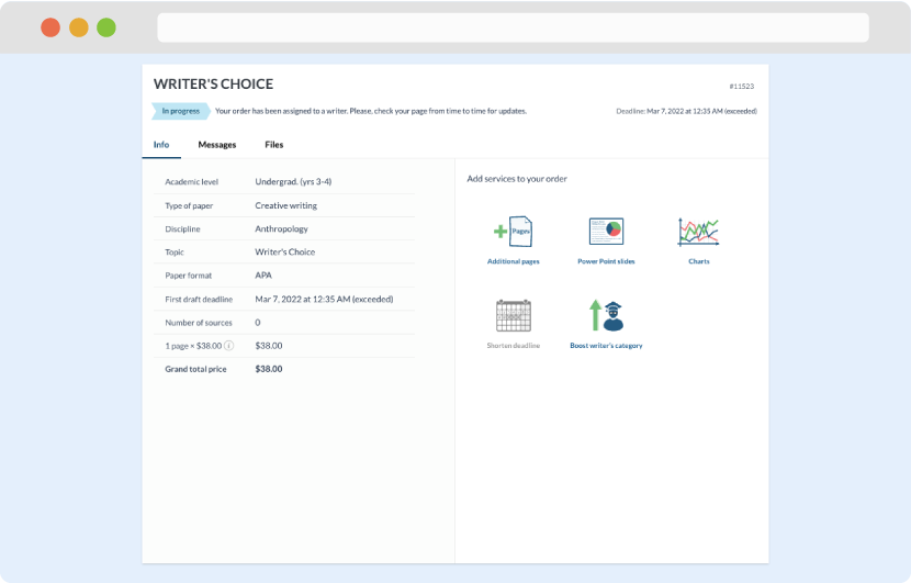
Once we have all the information and instructions that we need, we select the most suitable writer for your assignment. While everything seems to be clear, the writer, who has complete knowledge of the subject, may need clarification from you. It is at that point that you would receive a call or email from us.
Writer’s assignment
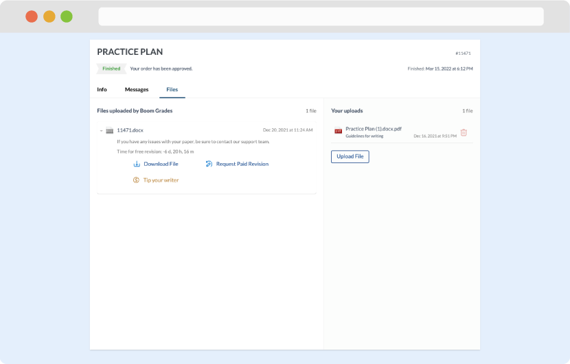
As soon as the writer has finished, it will be delivered both to the website and to your email address so that you will not miss it. If your deadline is close at hand, we will place a call to you to make sure that you receive the paper on time.
Completing the order and download