In This Chapter The Procedure Of Creating Hydrological Model Are Shown And Elaborated With Full Details. It Explains Procedures And Data Required To Conduct A Successful Hydrological Model.
Methodology Flow Chart Study
FIGURE 3.0 Procedure of conducting the project.
In this project enormous amount of data collection is needed to execute a perfect hydrological model. First data required in hydrological modelling is Digital Elevation Model (DEM) also known as Digital Terrain Model (DTM).
This data is digital elevation of earth’s surface which is used in ArcGIS-ArcMap and HEC-Geo-HMS software for terrain pre-processing in order to generate vector layers of catchments and streams.
It is also used to develop drainage lines, and stream segmentation. DEM data’s main function is to create sub-basins and rivers to form a catchment before the data is exported to HEC-HMS software.
Digital Elevation Model (DEM) of Malaysia will be obtained as Shuttle Radar Topography Mission (SRTM) with 30 meters grid resolution and freely downloaded from DIVA-GIS online website and the data obtained shows elevation of peninsular Malaysia as well as Sabah and Sarawak as shown in FIGURE 3.
1 while in this study only needs digital elevation model of Semenyih basin, thus various steps and techniques will be undertaken to create the required digital elevation model of the project.
After creating the basin from ArcGIS-ArcMap and HEC-Geo-HMS software using digital elevation model data, the catchment or the basin is exported into HEC-HMS which also require large amount of data input.
The Department of Irrigation and Drainage (DID) will provide rain gauge precipitation data, stream flow and land use maps.
These data are fundamental backbone of creating hydrological modelling for example the land use map is essential in determining data required for sub-basin area and lag time in HEC-HMS.
The land use is in digital elevation model format so that Arc-GIS-ArcMap can read the file, but when the data is in DEM format the data cannot be analysed because its compacted thus, the file needs to be converted excel format in order to categorize the land use activities such as, cemetery, recreational area, urban are grouped as concrete.
Solid waste disposal site, tin mine, grassland, cleared land, quarry, floriculture and oil palm land area grouped as soil group. Aquaculture lake, pond, river and water ways are also labelled as water group, this categorization is done in order to find impervious and pervious of the ground of the study area in order to calculate correctly the infiltration rate.
In this study only three rain gauge stations data are available namely, Ladang Dominion, Empangan Semenyih and Lalang Sungai Lui with their coordinates in decimal form are shown in the table below.
Another fundamental data for this study in the satellite data which will be obtained from NASA thus, this data will provide satellite precipitation data which is a significant factor in this study. Satellite precipitation data will be used in HEC-HMS simulation which the output result will be compared to the observed data from department of irrigation and drainage (DID). There is one satellite precipitation data used in this study, the Tropical Rainfall Measuring Mission (TRMM).
Tropical Rainfall Measuring Mission (TRMM) satellite was launched in 1997 with cooperation between the National Aeronautics and Space Administration (NASA) and Japan Aerospace Exploration Agency Satellite and its functions is to study precipitation for weather purposes and climate research shown in figure 3.2 Shows a picture of TRMM satellite.
ArcMap is a software made by Environmental Systems Research Institute (ESRI). This software is used at the first stages of hydrological modelling and Digital Elevation Model (DEM) data is applied to create basin elements of the catchment, as stated in section 3.2, DEM data obtained contains elevation of whole Malaysia and this project only is interested on Semenyih basin.
Thus, ArcMap tools are used to create the catchment needed for the project such as, table attributes, Arc Toolbox, Arc Catalog, and table of contents.
This software also has identifying attributes features, this tool is very important because the researcher can determine points, lines and catchment area that make up vector map layers, this is because the map features in ArcMap have attributes which means all their data is stored in table of attributes and by opening the table of attributes the researcher can locate map location with its latitude and longitude in terms of (degree minutes and second) otherwise the program cannot read the location of the map plus shape length and description of the map can be found using this tool as well thus this is what makes ArcMap so unique in hydrological modelling.
The first stage or step in creating hydrological model is to have DEM Data. DEM data was obtained from DIVAS-GIS online website and once the data is acquired modelling was started.
As started in 3.2.1 the DEM obtained was the elevation of whole Malaysia but in study it only needs the elevation of Semenyih basin thus, ArcMap tools will be used to create the required elevation model for the basin. ArcMap is the central core of this study as it will provide all maps required in this study.
Once the DEM is obtained its added into ArcMap using Add Data tool. The DEM data acquired has spatial reference which was set as default of Geographic Coordinate Systems (GCS) by NASA and needs to be converted to Projected Coordinate Systems (PCS) before the modelling begins.
This is done because GCS uses three-dimension spherical surface to define locations on earth while PCS uses flat, two-dimensional surface. In this study PCS is adapted but DEM obtained was set on GCS thus, map projections require to be changed to the desired coordinates.
The DEM data was set on WGS_1984_UTM_Zone_48N (PCS), this was done using Projections and Transformations toolset. This toolset contains tools to convert geographic data from one map projection to another. The DEM data obtained often needs to be transformed or projected this is because the data received is not always preprocessed thus, choosing the perfect coordinates will reduce errors occurring as the modelling progresses.
Once the coordinates issue is settled now modelling will be commenced using Arc Toolbox to create the Semenyih basin. Arc Toolbox in ArcMap is used to generate the Semenyih Basin and contains various tools which are used to create the catchment of the basin such tools include Fill, Flow Accumulation, Stream link and Snap Pour Point and many others.
These tools are A tool and they also containing a geoprocessing tool. By applying those tools, they will require enormous data input and output data this is because every step in Arc Toolbox requires input and output file which will be saved with designated folders assigned by the researcher.
The required basin is created using a series of predetermined steps that have to be successfully executed step by step without skipping any step in the sequence they are arranged thus; each step and tool has its own function and its important in the process of creating the basin and they have to successfully executed to acquire the required result from ArcMap. Under Arc Toolbox is the Spatial Analysist tool.
This is important tool which will be used to create the Semenyih basin because it has an extension which provides a rich set of spatial analysis and modeling tools for both raster and feature data. The capabilities of Spatial Analyst are broken down into categories or groups of related functionalities.
Knowing the categories will help this study to identify which particular tool to be used because the Spatial Analyst tool requires input file which will produce an output file that requires to be saved so that it can be re-called as the modelling continues between different software.
Under Spatial Analyst are various tools such as Distance, Raster Creation, Zonal, Groundwater and many others but in this study, it only interested in Hydrology tool. Furthermore, Hydrology tool contains various sub-tools which requires to be followed in order, otherwise skipping from one process will enforce the modelling to be re-stated from scratch. The functions under Hydrology tool will be explained in the following paragraphs.
The first process under Hydrology is the Fill tool. This function is used to remove all errors in the DEM map and imperfections in the surface raster which is caused due to poor resolution of the data. Another reason for using the Fill Process is fill sinks and solve any errors in the data to ensure accurate delineation of the catchment. If the sinks and poor resolution problem are solved the delineation and streamflow of the basin might become discontinuous.
Once Fill function is carried out the file is saved and the modelling continues with Flow Direction tool. This tool creates flow direction of the catchment in raster format so that that each cell delineates to the cell below it, which has lower elevation to make sure perfect delineation of the catchment as a whole and its main function is to filter out singe cell sinks which the Fill tool could not able to. Flow Accumulation is next step in the modelling this tool is used to calculate
In this chapter, the hydrological modelling process of Semenyih dam from start to completion procedures will be explained in details aided with pictures, tables and formulas. This chapter will also explain further the processes stated in the methodology chapter. The guidelines used for the design and the creation of the Semenyih catchment was obtained from HEC-Geo-HMS user manual version 10.2 and HEC-HMS user manual version 4.2.
The data used in study was obtained from two agencies, NASA and DID, respectively. The Digital Elevation Data (DEM) was obtained from NASA. DID data is a core requirement in this study because DID data will be used in ArcMap, HEC-Geo-HMS until its exported to HEC-HMS model.
NASA also provided the satellite precipitation data of TRMM satellite while DID agency provided rain gauge precipitation and streamflow observed data.
These data are crucial for this study because the hydrographs of the simulated and observed will be compared to check the accuracy of the result obtained from HEC-HMS. DID also provided the Land-Use data which is used to determine the pervious and imperviousness of the created catchment and also to determine the Curve Number of the basin.
All the software, and data used in this study will explained in details throughout the next sub-chapters with the support of figures and tables. Three software will be used for this study namely, ArcMap, HEC-Geo-HMS and HEC-HMS.
Every time one process is succeeded the software will show a green light which is a notification stating the process was successful and if it is not successful the user will receive a red alert that there some error in the data.
Essay Writing Service Features
Our Experience
No matter how complex your assignment is, we can find the right professional for your specific task. Contact Essay is an essay writing company that hires only the smartest minds to help you with your projects. Our expertise allows us to provide students with high-quality academic writing, editing & proofreading services.
Free Features
Free revision policy
$10Free bibliography & reference
$8Free title page
$8Free formatting
$8How Our Essay Writing Service Works

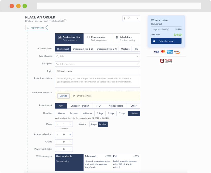
First, you will need to complete an order form. It's not difficult but, in case there is anything you find not to be clear, you may always call us so that we can guide you through it. On the order form, you will need to include some basic information concerning your order: subject, topic, number of pages, etc. We also encourage our clients to upload any relevant information or sources that will help.
Complete the order form
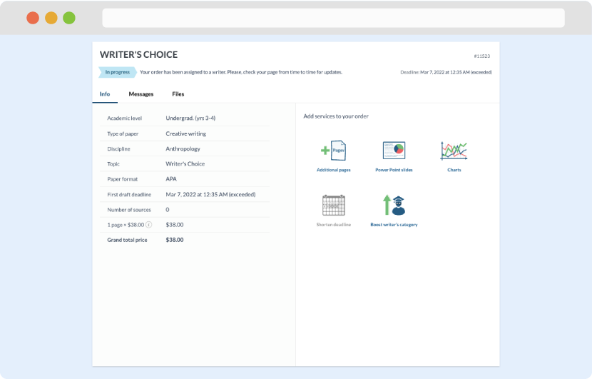
Once we have all the information and instructions that we need, we select the most suitable writer for your assignment. While everything seems to be clear, the writer, who has complete knowledge of the subject, may need clarification from you. It is at that point that you would receive a call or email from us.
Writer’s assignment
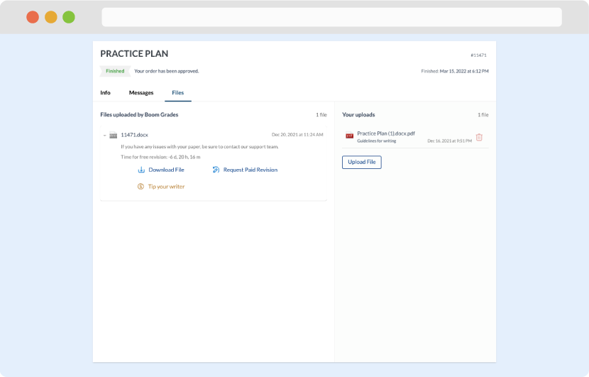
As soon as the writer has finished, it will be delivered both to the website and to your email address so that you will not miss it. If your deadline is close at hand, we will place a call to you to make sure that you receive the paper on time.
Completing the order and download