Among the basic resources of the society, ‘Land’ is considered one of the most important and significant resource. Land use of any region is mainly controlled by two sets of factors – i) physical factors including geology, relief features, soil types, vegetation etc ii) cultural factors including all the economic institutional factors that control the land utilization pattern of a region. L.D.Stamp was the pioneer of the land utilization studies and emphasized on this aspect. According to FAO ‘Land Use is characterized by the arrangements, activities and inputs by people to produce, change or maintain a certain land cover type’.
(Di Gregorio and Jansen,1998). Land Cover is the observed (bio) physical cover on the earth’s surface (Di Gregorio and Jansen, 1998).According to Mondal (1990) ‘land use is the surface utilization of all developed and vacant lands on a specific point, at a given time and space’ whereas ‘land utilization is the satisfaction which the farm population derives from the type of the agriculture developed, the provision for future production and the contribution of national needs’ (Buck, 1951)
The existing land use pattern of the district, as per Census 2011, has been discussed in Chapter 3, section 3.
8. As per Bhuvan Thematic Service (Fig.5.1), it is observed that most of the district is under agricultural land with forests confined to the hilly land in the west and coastal land in the east. They occur as patches of deciduous trees bordered by degraded scrublands. In parts,along the coast the forests comprise mangrove and other swamp species.
Wastelands are observed along the hills and uplands. But patches of wastelands occur along the coast, probably along dunes and river borders.
The share of each land use with respective to the district total has been analysed (Fig.5.2). The forest land share is highest in Jaleswar block and lowest in Bahanaga block. Highest area under non agricultural use is found in Bhograi block and it is lowest in Nilagiri block. Barren and Un-cultivable land is highest in Jaleswar block whereas lowest in Oupada block. Share of Barren and Un-cultivable land is highest in Jaleswar block and it is lowest or almost nil in Nilagiri block as per Census 2011. Permanent Pastures and Other Grazing Lands also lowest or absent in the Nilagiri block and the share is highest in Remuna block. In Baliapal block holds highest share of Land under Miscellaneous Tree Crops etc and highest share of Culturable Waste Land is found in Bhograi block. Highest share of fallow lands other than current fallows is found in Khaira block. For these thee categories the lowest share is found in Nilagiri block. Limited irrigation facility keeps land fallow seasonally. However in Nilagiri block the share of current fallow was highest among all the blocks and the second highest share is found in Oupada block. Lowest share of the Current Fallows was found in Jaleswar block. Highest Share of net sown area of the district is found in the block located on inand plain and coastal plain i.e. Balasore and lowest in hilly block Nilagiri. In Simulia block share of total irrigated area is highest as the canal irrigation system from Salindi Canal Project covers its maximum portion and ground water irrigation is also available. Hilly terrain, ground water fluctuation and underlying rock layer are main hindrances of irrigation development in hilly blocks Nilagiri and Oupada. The share of districts total irrigated area is also lowest in Nilagiri block justifying the fact. Share of districts total unirrigated area was highest in Balasore block and lowest in Nilagiri block.
The census land use data of 2011 shows that the net sown area covers maximum percentage of the land utilization in almost all blocks. The brief is as follows (Appendix 5.1)-
In Bahanaga block the net sown area covers 71.7% of the area and rest two significant land use are Area under Non-agricultural Uses i.e. 18.8% and Permanent Pastures and Other Grazing Lands has 4.9% area only. All other land use is significantly limited.
In Balasore block similar trend can be noticed and 68.3% of its land use falls under net sown area category, Area under Non-agricultural Uses holds seconds highest percentage.
In Basta the similar trend is present. Area under Non-agricultural Uses has 25.1% share that is second highest after net sown area.
In Bhograi block Culturable Waste Land covers 38.4% of total area.Net sown area covers 35.4% and next highest percentage of land falls under Area under Non-agricultural Uses i.e. 19.6.
In Jaleswar block forested area is high than all other blocks and it covers 8.3% of the total area of the block. 67.4% area falls under net sown area and 13.4% of the land is under area under non-agricultural Uses.
In Khaira block 75.9% of the land is net sown area. 7.1% of the area used as area under non-agricultural Uses.
In Nilagiri block only 2.9% of the area is under net sown area, 95.9% of the land is current fallow.
In Oupada block 70.9% area is current fallows, 12.6% area is net sown area and 10.3% of the land falls under area under non-agricultural use.
In Remuna, Simulia and Soro blocks the net sown area covers highest percentage of block area. Current fallow is high in Simulia block followed by Remuna and Soro. But area under non-agricultural uses is high in Remuna and Soro (Fig.5.3).
The change of land use with time varies significantly if the decadal change is considered. The Census of India, up to 2001, has provided land use data in four main land use classes i.e. forest, net area sown (total irrigated area, total un-irrigated area), culturable waste, area not available for cultivation. In Census 2011 the number of land use categories have increased and these are- forests, area under non-agricultural uses, barren and un-cultivable land, permanent pastures and other grazing lands, land under miscellaneous tree crops etc., culturable waste land, fallow lands other than current fallows, current fallows, net area sown (total irrigated land area and total un-irrigated land area). So the temporal change can be analyzed in two aspects , one will deal with the district level change and another will be block level change of land use in respect to the total block area with time.
In 1991 the share of un-irrigated agricultural land was highest i.e. 65.01% followed by culturable waste occupying 12.75% of the total land. The total irrigated area of the district occupied 10.67% of the total and percentage of area not available for cultivation accounted for 9.13%. Average percentage of forest coverage was only 2.42% (Fig.5.4).
In 2001 a similar trend can be noticed though the areas under irrigation increased. The un-irrigated land share decreased to 58.24% and the total irrigated area of the district increased to 14.29%. Percentage of culturable waste became 10.26% and the average percentage of area not available for cultivation was 10.04%. Average percentage of forest increased to 3.59%, implying afforestation. The latter is confined mostly to Nilagiri and Oupada blocks.
In 2011 it is found that the share of un-irrigated land is 52.81%. So a clear decrease of un-irrigated land can be noticed. The share of the irrigated land is 11.51%. The share of culturable waste has decreased to 5.80%. Net sown area still holds the highest coverage, the second highest coverage comes under current fallow i.e. 15.95% and area under non agricultural use comes third with a value of 12.99%. Other land uses like permanent pasture, barren and uncultivable land, land under miscellaneous tree crops etc, fallow lands other than current fallows have less than 5% share of the land used. As in 1991 and 2001 census only five land use categories are given but in 2011 census more detailed land use categories of nine classes are given. So only the percentage share has been given. In 2011 the percentage of forest coverage has became 3.1% showing a decrease of coverage.
For development, land resource, its optimum and sustainable utility is always important. Specially for the rural areas, the physical constraints limit the utility of land. The study is based on blockwise land use data as provided in the District Statistical Handbooks of Balasore District. Temporal change has been considered year wise for the period 1996-97 to 2010-11 (Fig.5.5). Land has been broadly classified into nine land utilization classes.
i) Forest area: This acts as a significant resource for the villagers as it supplies leaves, timbers, honey and all other valuable resources. The data on the forest area excludes the reserved and protected forests. Forest cover of Balasore district ranged from 3414 ha to 10735 ha from 1996-97 to 2010-11 with alternate fluctuations. Time series analysis (least square method) shows a positive trend of forest cover in the district trend line value becomes y = 264.8x + 5315. Afforestration programmes may have taken place.
ii) Misc. tree crops and groves not included in area sown: According to the Agricultural Census, this includes all cultivable land which is not included in ‘net area sown’ but is put to some agricultural use. Land under casuarinas, thatching grasses, bamboo bushes and other groves for fuel, etc. which are not included under ‘orchards’ are classified under this category. In the district highest share was found in 2007-08 and it was lowest in 2000-01 .The trend value has become y = 82.41x + 10582. Hence a positive trend is observed.
iii) Permanent pasture and other grazing lands: This includes all grazing land whether it is permanent pasture/meadows or not. Village common grazing land is included under this category Among the thirteen years i.e. from 1996-97 to 2010-11 the highest percentage is noticed in 2010-11 and lowest in 1996-97. Time series analysis represents a negative trend with a value y = 300.7x + 11935. Diversion of lands for non agricultural use is in progress.
iv) Culturable waste: According to the Agricultural Census, culturable waste is ‘all lands available for cultivation, whether or not taken up for cultivation once, but not cultivated during current year and the last five years or more in succession for one reason or the other. Such lands may be either wholly or partly covered with shrubs and jungles, which are not put to any use. So culturable waste has economic importance, as it can be used for cultivation, if required. On an average 6.05% of the land is put under this category. From 1996-97 to 2010-11 the highest percentage of the culturable waste was seen in 1998-99. The trend value y = 51.26x + 20494.
v) Land put to non-agricultural uses: This category mainly deals with the lands that are not used for cultivation purpose. These lands are generally occupied by the buildings, ponds, roads, etc. On an average, 13.15% of the share of non agricultural land was found in the district. The highest share of land was found in 2008-09. The trend value becomes y = 1167.x + 37157.
vi) Barren and un-cultivable land: All types of uncultivable lands within the cultivable holdings are termed as barren and uncultivable land. The highest share of the barren land was found in 2008-09. Trend line y = 10.02x + 6523.
vi) Barren and un-cultivable land: All types of uncultivable lands within the cultivable holdings are termed as barren and uncultivable land. The highest share of the barren land was found in 2008-09. Trend line y = 10.02x + 6523.
vi) Current fallows and other fallows: Fallow land is a specific form of land utilization that has an important economic role in a region. Current fallow may be defined as ‘cropped area, which is kept fallow during the current year but was cultivated in the previous year’. This form of land use gives the information of on the land not related to the productivity. A parcel of land or many parcels of land can be left fallow for number of facts like soil degradation, unavailable irrigation facility, economic incapability of farmers etc. The expected area under the current fallow of selected thirteen years has been calculated but no significant trend can be identified with the value y = -99.20x + 13316. The share was lowest in 2006-07 i.e.2.33%. For old fallow the trend value has become y = 180.5x + 4498.
vii) Net area sown: Net sown area is a basic component of agricultural economy and also the representative of the nature of the land resource. According to Agricultural census net sown area may be defined as “Total area sown with crops and orchards counting area sown more than once in the same year only once”. This is the main class of the land use observed in the district. On an average 64.19 % area of each block is net sown area. From 1996-97 to 2010-11 no significant fluctuation can be noticed so the variability (coefficient of variation) of the net sown area of Balasore district considering was only 3.8%. The trend value of the correlation has become y = -767.6x + 22622. Hence share of cultivated land is decreasing at the expense of other uses.
i) Forest area: Block based forest cover shows fluctuation from 1996-97 to 2010-11. As the data excludes the reserved and protected forest data so it mainly deals with village forest covers. Bahanaga block shows minimum forest coverage but the area under forest has increased from 1998-99 to 2006-07. Then again it decreased significantly. In Balasore block the area under forest has reduced remarkably. This could be due to progressing urbanization in the block. The forest cover has increased in Baliapal block from 5.8% of the block share to 9.14% in 2010-11.In Basta and Bhograi blocks there is no stability of forest cover. Only in Bhograi block 0.3% of the forest cover can be noticed. Jaleswar block shows maximum concentration in 1998-99 i.e. 9.4%
Essay Writing Service Features
Our Experience
No matter how complex your assignment is, we can find the right professional for your specific task. Contact Essay is an essay writing company that hires only the smartest minds to help you with your projects. Our expertise allows us to provide students with high-quality academic writing, editing & proofreading services.
Free Features
Free revision policy
$10Free bibliography & reference
$8Free title page
$8Free formatting
$8How Our Essay Writing Service Works

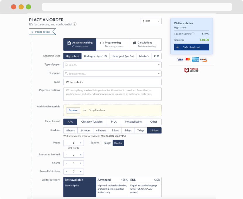
First, you will need to complete an order form. It's not difficult but, in case there is anything you find not to be clear, you may always call us so that we can guide you through it. On the order form, you will need to include some basic information concerning your order: subject, topic, number of pages, etc. We also encourage our clients to upload any relevant information or sources that will help.
Complete the order form
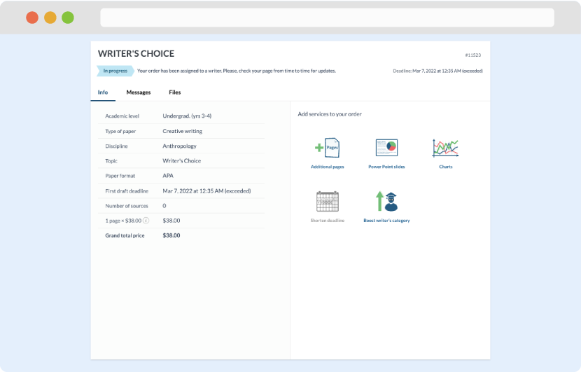
Once we have all the information and instructions that we need, we select the most suitable writer for your assignment. While everything seems to be clear, the writer, who has complete knowledge of the subject, may need clarification from you. It is at that point that you would receive a call or email from us.
Writer’s assignment
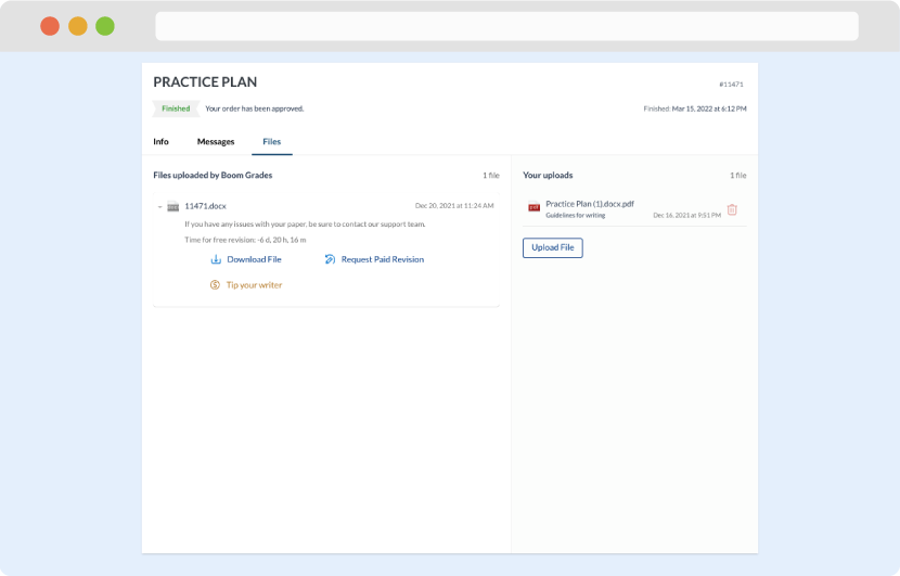
As soon as the writer has finished, it will be delivered both to the website and to your email address so that you will not miss it. If your deadline is close at hand, we will place a call to you to make sure that you receive the paper on time.
Completing the order and download